Integrated Land Record: Patta, Chitta, FMB in One PDF
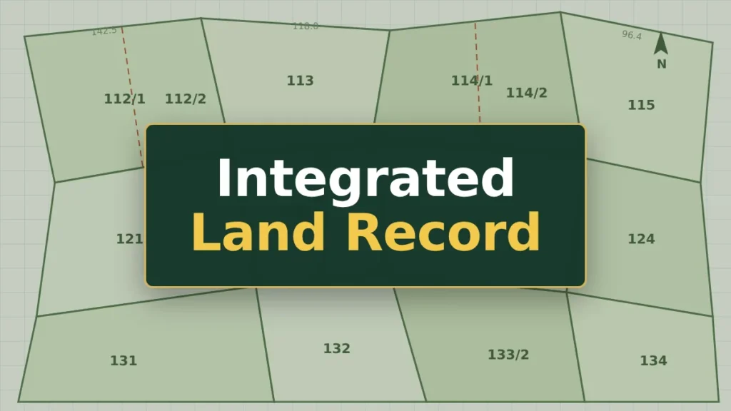
The Integrated Land Record (ILR) is a single document from the Tamil Nadu government that puts your land’s A-Register details, patta ownership and FMB field sketch on one page. Until now you downloaded these three extracts separately and matched them yourself. That matching step is where most mistakes happen.
What the Integrated Land Record Is
The Revenue and Disaster Management Department launched the ILR on 4 March 2026, along with the History of Patta Transfer service. The official announcement describes it as one digitised document that combines the Record of Rights (text), the Field Measurement Book (map) and the Chitta (ownership).
The ILR does not create a new record. It pulls together entries the revenue department already holds for your survey number, so the details should match the separate extracts.
What the ILR Shows: One Page Instead of Three
| Section of the ILR | What it tells you | Earlier, you downloaded |
|---|---|---|
| A-Register | Survey and subdivision number, classification (ryotwari or government), nanjai or punjai, soil, extent in hectares, assessment | A-Register Extract |
| Patta | Patta number, name of the holder, all co-holders in a joint patta | Patta / Chitta extract |
| Field map | Shape of the plot, boundary lengths, neighbouring survey numbers | FMB sketch |
The field map in the ILR may appear at a small size. For a boundary check on site, still download the full FMB sketch.
How to Download the Integrated Land Record
Keep your district, taluk and revenue village names ready, along with the survey number, subdivision number and a mobile phone.
- Open eservices.tn.gov.in and choose Tamil or English.
- Click Integrated Land Records (ஒருங்கிணைந்த நில ஆவணம்) on the home page.
- Select the district, taluk and revenue village. For town-surveyed areas, the form may ask for ward and block.
- Enter the survey number and select the subdivision number.
- Enter your 10-digit mobile number, request the OTP and type the OTP you receive by SMS.
- Click Submit. The record opens from the Survey and Settlement Department’s ILR system. Use the print option to print it or save it as a PDF.
How to Read Your ILR, Section by Section
A-Register block
- Classification: “Ryotwari” means private land held under patta. “Government” or any poramboke entry means the land belongs to the government. Stop and check before any purchase.
- Nanjai / Punjai: nanjai is wet land with an irrigation source, punjai is dry land.
- Extent: shown in hectares and ares. 1 hectare equals 2.471 acres, and 1 are equals about 2.47 cents.
Patta block
- Match the holder’s name with the seller’s name on the sale deed. Tamil spellings can differ, so check initials and father’s name too.
- In a joint patta, every co-holder is listed. A sale by one co-holder covers only that person’s share.
- Confirm the subdivision number here is the same as in the A-Register block.
Field map
- Compare the plot’s shape and the neighbouring survey numbers with what you see on the ground.
- If the plot was recently subdivided, the new subdivision should appear. An old, undivided sketch means the update may still be pending.
Cross-Checks Before You Rely on It
Treat these as warning signs:
- The patta name does not match the seller on the sale deed.
- The extent in the ILR differs from the extent on the sale deed.
- The classification shows government land or poramboke.
- The subdivision on the map does not match the patta.
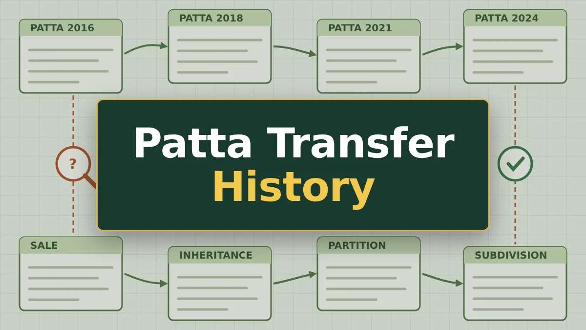
The ILR shows who holds the patta today. It does not show loans, mortgages or past registered sales. For those, check the Encumbrance Certificate on TNREGINET. To see how many times the patta changed hands, use the History of Patta Transfer service.
Download your own copy on the day you decide. Don’t rely on a printout from the seller or a broker.
If the ILR Does Not Load or Looks Wrong
- No record found: check the revenue village. It can differ from your postal address. Records are still being added to the system, so some survey numbers may not appear yet. Use the separate View Patta / Chitta / FMB option meanwhile.
- OTP not received or page times out: reload the page and request a new OTP.
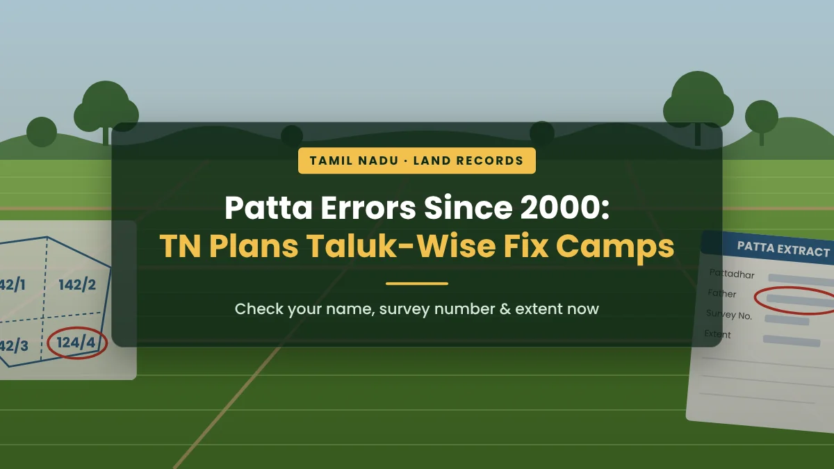
- Wrong name or extent: the ILR copies the revenue record, so the correction must be made in that record. Our Patta Chitta guide explains how to fix name and extent errors.
FAQs
Is the Integrated Land Record free?
Yes. Viewing and downloading the ILR on the e-Services portal costs nothing.
Does the ILR replace the patta?
No. It brings the patta, A-Register and FMB together on one page. The patta is still the revenue record of who holds the land, and your sale deed is still your title document.
Do I still need a separate FMB sketch?
Sometimes. For measuring boundaries on site or applying for a survey, the full-size FMB sketch is clearer.
Does the ILR cover urban property?
Not always. Town-surveyed property is recorded in the TSLR. If your property does not appear, download the TSLR extract instead.