Patta Chitta Satellite View: See Your Land on TNGIS Map
Yes, you can see Tamil Nadu land parcels on a satellite map for free, on the government’s TNGIS platform. The Tamil Nilam – GI Viewer finds a parcel by survey or patta number after a free registration. The TNGIS Generic Viewer needs no login and shows village and survey boundaries over satellite imagery.
Open Your Village Map Without Logging In
The TNGIS Generic Viewer (tngis.tn.gov.in/generic_viewer) opens straight to a map of Tamil Nadu. Use it to find your village and look at the fields around it.
- Open the Generic Viewer and go to the TNGIS Tools panel.
- Open Area Of Interest and choose Revenue Boundary.
- Select the district, then the taluk, then the revenue village.
- The map moves to that village. Zoom in until you can see field outlines and roads.
The same panel also selects areas by Rural Boundary (district, block, panchayat village) and urban Boundary (town panchayat, municipality, corporation, ward). For land in a revenue village, the Revenue Boundary route is the one that matches your patta.
Turn On Survey Boundaries and Satellite Imagery
The village outline alone won’t show your field. Switch on the land layers:
- Open All Layers and find the Admin Boundary list.
- Turn on Revenue Villages, Survey Boundary and Sub Division Boundary.
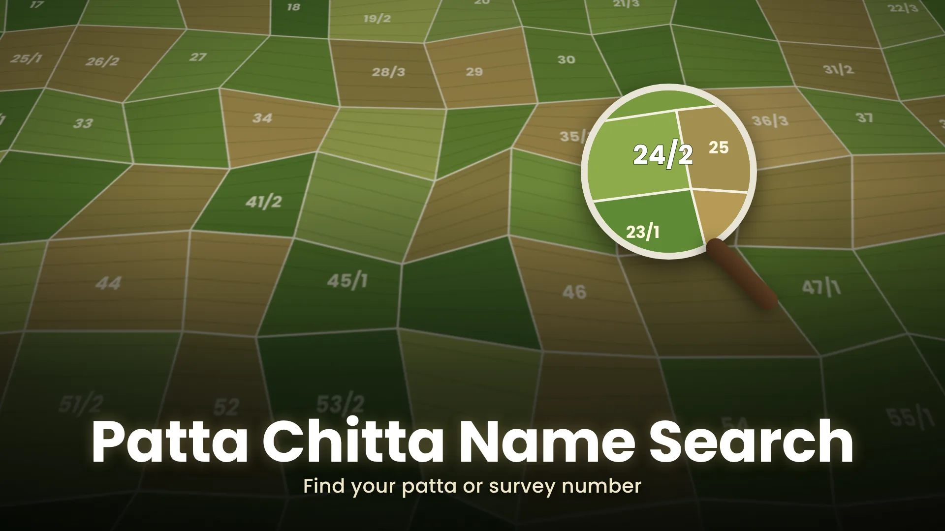
The map opens on satellite imagery with the Google base map selected. You can switch to Bhuvan, ISRO’s satellite base map, from the same base map list, which also has DEM, Slope and Aspect views of the terrain. On satellite imagery you see the survey lines over the actual ground: roads, tanks, buildings and tree lines.
Match your field by its shape and by the landmarks around it. Your FMB sketch helps here, because it shows the shape of the field and the survey numbers of the fields next to it.
A few more layers are useful when checking land:
| Layer name in All Layers | What it helps you check |
|---|---|
| Village Roads, Major District Roads, State Highways | Whether a mapped road touches the field |
| Tanks, River | Whether the land is next to, or inside, a water body |
| Reserve Forest, Eco Sensitive Zone | Whether the area falls in a forest or eco-sensitive zone |
| Land Guideline Value | The guideline value layer for the area |
Jump to a GPS Point
If you are standing on the land, or someone sent you a location pin, you can go straight to that point.
- On your phone, open the location in a maps app and copy its latitude and longitude in decimal form (for example 11.0168, 76.9558).
- In the Generic Viewer, open Go to Location.
- Enter the latitude and longitude in decimal degrees and click Submit.
The map jumps to that point. With Survey Boundary turned on, you can see which field the point falls in. The Measure tool gives distances and areas on the map; Clear removes them.
Search by Survey or Patta Number in the Tamil Nilam – GI Viewer
The GI Viewer is run by the Survey and Settlement Department and the Registration Department (IGR), and was developed by TNeGA. It is open only to registered users, and registration is free.
According to the portal, it offers:
- Search by Survey / Patta, or browsing the map directly
- Cadastral & Satellite View
- FMB & Patta Access and ownership details
- Multi-layer GIS Data: boundaries, roads, amenities and classifications
- Nearby Facilities, such as hospitals and roads
If you don’t have the survey or patta number yet, do a survey number lookup from your deed or old patta first.
Register for the GI Viewer
- Open the GI Viewer and click Login, then Create Account under New User.
- Personal Details: title, Full Name, Date of Birth, Relation Type (S/O, D/O or C/O), Father Name / Mother Name / Guardian and Gender. Click Next →.
- Address Details: country, Plot/Door No, Building / Street, address lines, Area and Locality.
- Account Details: enter your Mobile Number and click Verify to confirm it by OTP. Add your email twice and set a password.
- Click Complete Registration →, then Go to Login →.
To sign in, choose Public, enter your Mobile No and Password, type the captcha and click Login →. A forgotten password is reset by OTP through Forgot Password?.
The viewer’s own login is the only one you need. No private app or agent has to sign in for you.
What a Satellite Map Can’t Settle
A boundary line drawn over satellite imagery is a guide for locating the land. It may not line up exactly with fences and walls in the picture. For the legal shape and measurements of a field, use the FMB sketch. For a boundary dispute, ask the taluk office for a survey.
The e-Services portal has no item called “topo sketch”. The drawings it gives are the FMB sketch, the TSLR sketch and the F-Line sketch. Town land surveyed by ward and block uses the town survey sketch instead of the FMB.
செயற்கைக்கோள் வரைபடத்தில் நிலத்தைப் பார்ப்பது எப்படி?
tngis.tn.gov.in தளத்தில் உள்ள Generic Viewer-ல் உள்நுழைவு இல்லாமல் கிராம எல்லை, புல எல்லை (Survey Boundary), உட்பிரிவு எல்லை (Sub Division Boundary) ஆகியவற்றை Google அல்லது Bhuvan செயற்கைக்கோள் வரைபடத்தின் மேல் பார்க்கலாம். புல எண் அல்லது பட்டா எண் மூலம் தேட Tamil Nilam – GI Viewer-ல் இலவசமாகப் பதிவு செய்ய வேண்டும். நிலத்தின் சட்டப்பூர்வ அளவுகளுக்கு FMB வரைபடத்தையே பயன்படுத்துங்கள்.
If the GI Viewer Stops Responding
Every GI Viewer service has a request limit. If you go over it, the service is blocked for a set time. These are the public limits for the most-used services:
| Service | Limit for public users | Blocked for |
|---|---|---|
| Patta Copy, Ownership Details, Urban Ownership Details, Guideline Value, Feature Info, Crop Details | 25 requests in 1 hour | 2 hours |
| Encumbrance Certificate, FMB Sketch, Check Areg (A-Reg) | 50 requests in 1 hour | 3 hours |
| Land Details | 50 requests in 1 hour | 3 hours |
Longer windows have their own limits; over 24 hours, Patta Copy and Ownership Details allow 250 requests. If a search suddenly stops working after many lookups, wait out the block period before trying again. For other problems, TNGIS support is at tngis.support@tn.gov.in or +91-44-40164907.